Our Transportation Systems Application and Research Center Carried out Studies in the Earthquake Zone
![]()
Our Istanbul Ticaret University Transportation Systems Application and Research Center team headed by the Director of the Center Prof. Dr. Mustafa Ilıcalı carried out studies in the earthquake zone within the scope of the “1002-C Emergency Support Program for Reconnaissance Study Focusing on Natural Disasters Program” supported by Scientific and Technological Research Council of Türkiye (TÜBİTAK).
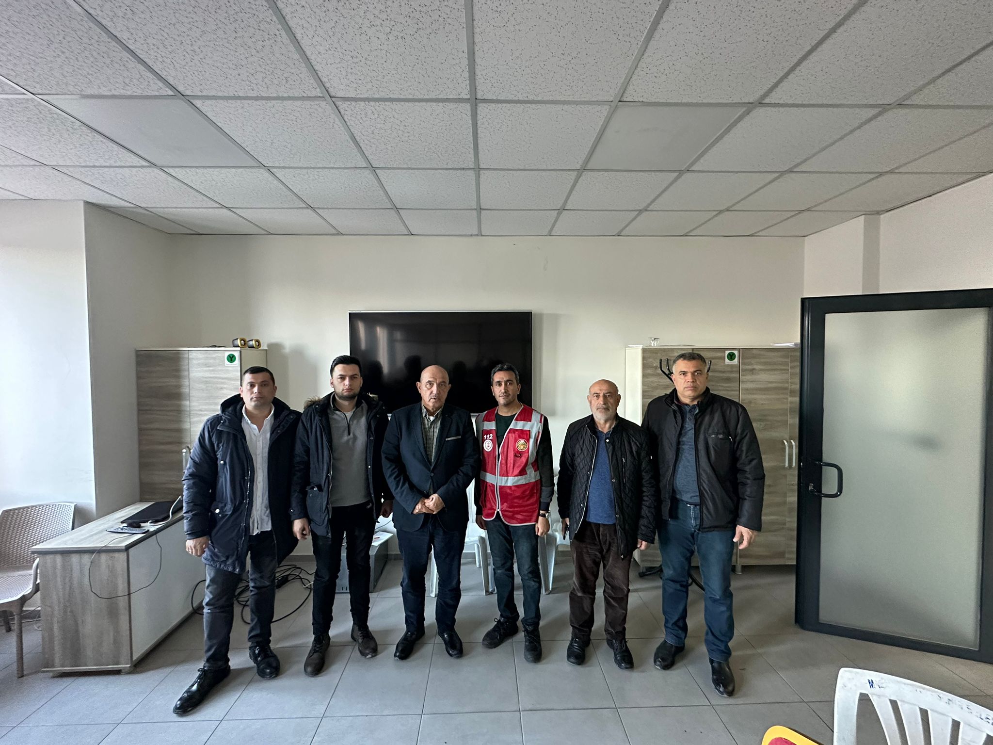
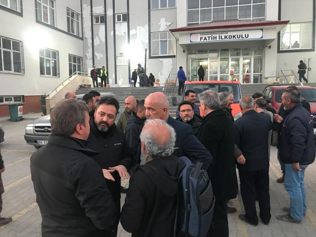
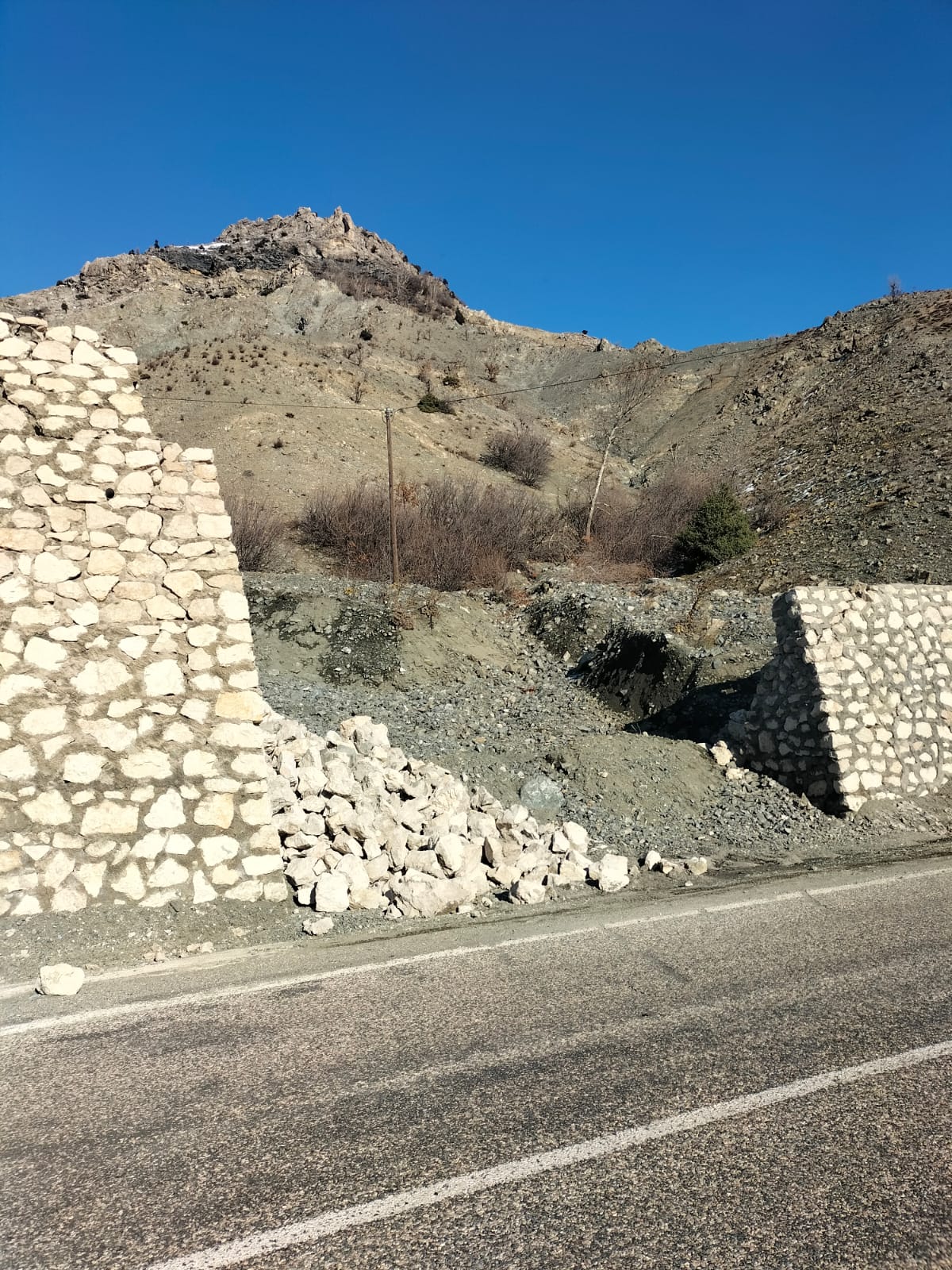
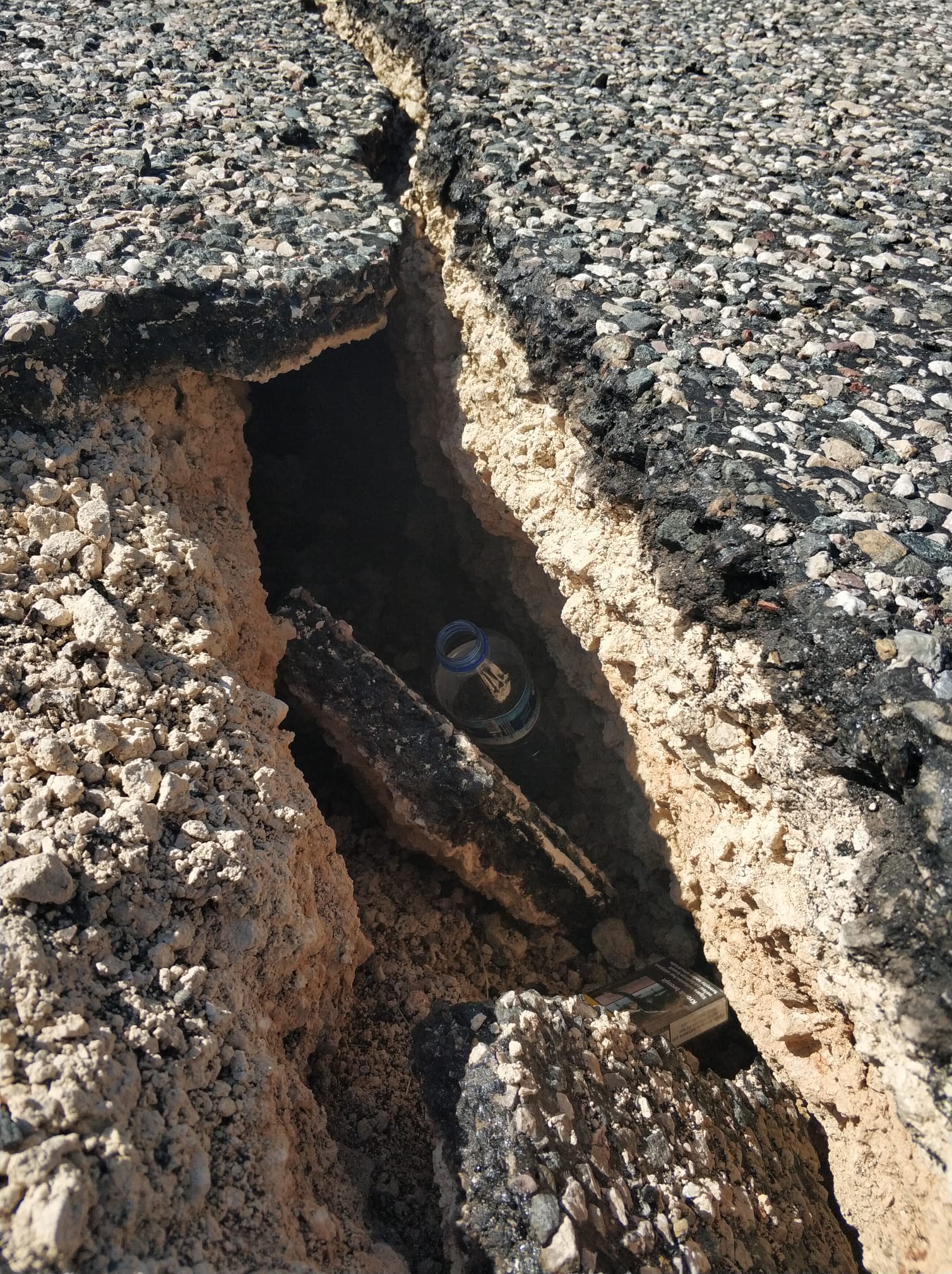
Two different teams from our center carried out surveys in the cities of Malatya, Adıyaman, Kahramanmaraş, Gaziantep and districts of Sürgü, Erkenek, Nurhak, Elbistan, Nurdağı, Pazarcık and Gölbaşı. Within the scope of the visit, our team met with the coordinator governors in the region, mayors visiting the region, mayors of provinces and districts that experienced the earthquake, non-governmental organizations, representatives of Disaster and Emergency Management Presidency (AFAD) and Red Crescent, representatives of relevant ministers and ministries, and citizens affected by the earthquake. The field work carried out within the scope of the project with the GARMIN VIRB camera that can detect images at a distance of 1500 kilometers in order to determine the damages in the main transportation axes of the provinces and districts affected by the earthquake, the traffic flow at the time of and after the earthquake, the debris-road relations, the building-road-pedestrian sidewalk distances, the general condition of the parking lot infrastructure and the disruptions in public transportation systems was successfully completed. The observations made in the field have been shared with the national media, whereas the analysis of the collected data is still ongoing.